A multi-system dual-frequency GNSS module serves as the foundational anchor for absolute positioning within a broader field operations platform. It is primarily utilized in open outdoor environments to capture high-precision geographic coordinates, acting as the authoritative "source of truth" for the system. By establishing this accurate baseline during initial deployment or command phases, the module ensures the entire network is correctly oriented before complex operations begin.
The core value of this module lies in its ability to provide the initial alignment and global calibration required by Inertial Navigation Systems (INS). Without this absolute baseline, the relative tracking data from inertial sensors would lack a precise geographic starting point.
Establishing the Operational Baseline
Capturing Absolute Coordinates
The primary function of the multi-system dual-frequency GNSS module is to capture absolute geographic coordinates. Unlike relative sensors that track movement from a previous point, this module determines the exact global position of the platform.
The Role of Open Outdoor Environments
To function correctly, this specific hardware is deployed in open outdoor areas. This ensures an unobstructed line of sight to multiple satellite constellations, which is necessary for the dual-frequency signal processing that drives high-precision results.
Serving as the Network Reference
Once the coordinates are captured, they serve as the baseline for the entire positioning network. During the command phase, this data synchronizes the platform's understanding of its location relative to the global map.
Integration with Inertial Navigation Systems (INS)
Critical Initial Alignment
Inertial sensors are excellent at tracking movement but cannot determine their own starting location. The GNSS module provides the essential data for the initial alignment of the INS.
Global Calibration
Beyond simple alignment, the GNSS data is used for global calibration. This process corrects inherent sensor biases and errors in the inertial system, ensuring that subsequent movement tracking is as accurate as possible.
Understanding the Trade-offs
Environmental Dependencies
The reliance on "open outdoor areas" indicates a significant operational constraint. This module is highly effective in clear conditions but may struggle or fail in urban canyons, dense foliage, or indoor environments where satellite signals are obstructed.
Deployment Timing
The reference emphasizes usage during initial deployment or command phases. This suggests that the system relies heavily on getting a strong "lock" at the start of a mission; if this initial step is rushed or performed in a poor environment, the calibration of the entire sensor suite may be compromised.
Making the Right Choice for Your Goal
To maximize the utility of a multi-system dual-frequency GNSS module, align your operational procedures with the module's strengths:
- If your primary focus is System Accuracy: Ensure the platform remains stationary in an open area during the startup phase to allow for a complete global calibration of the INS.
- If your primary focus is Rapid Deployment: Recognize that skipping the "initial alignment" phase in an open area will degrade the absolute accuracy of your inertial navigation data.
By treating the GNSS module as a calibration tool rather than just a tracker, you ensure long-term positioning reliability.
Summary Table:
| Feature | GNSS Module Role | Benefit for Field Operations |
|---|---|---|
| Positioning Type | Absolute Geographic Coordinates | Provides the "Source of Truth" for the global map |
| System Integration | Initial Alignment for INS | Establishes a precise starting point for inertial sensors |
| Calibration | Global Sensor Calibration | Corrects biases to ensure long-term tracking reliability |
| Deployment Phase | Command/Initial Setup | Synchronizes the entire network before movement begins |
| Environment | Open Outdoor Areas | Maximizes signal lock for high-precision dual-frequency data |
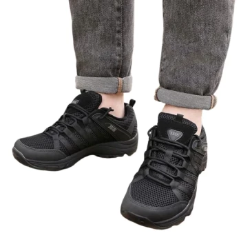
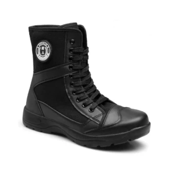
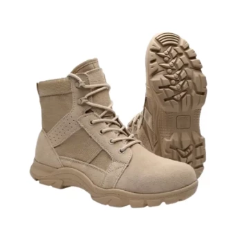
Elevate Your Fleet's Precision with 3515 High-Performance Footwear
As a large-scale manufacturer serving distributors and brand owners worldwide, 3515 understands that precision in the field starts from the ground up. Just as a GNSS module provides the essential baseline for navigation, our footwear provides the essential foundation for personnel safety and performance.
We offer comprehensive production capabilities across all footwear types, anchored by our flagship Safety Shoes series. Our extensive portfolio includes:
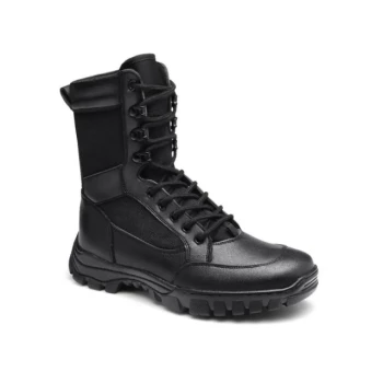
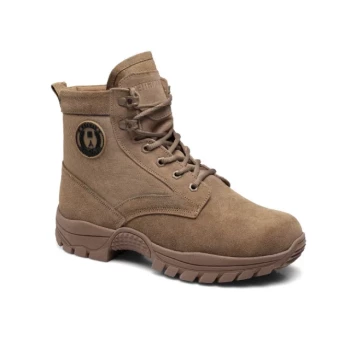
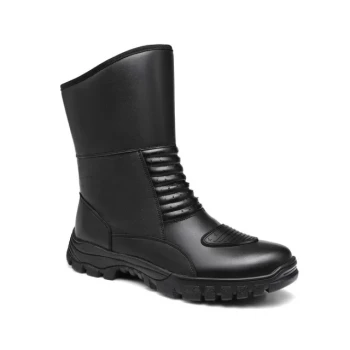
- Tactical & Work Boots: Engineered for stability and protection in rugged field operations.
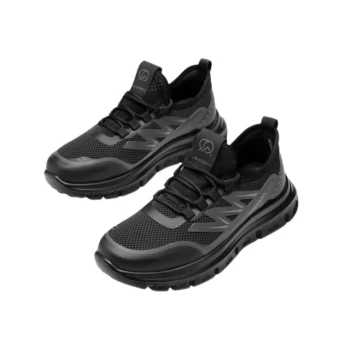
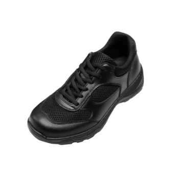
- Outdoor & Training Shoes: Designed for durability in demanding environments.
- Sneakers & Dress Shoes: High-quality bulk solutions for diverse professional requirements.
Partner with a manufacturer that values accuracy as much as you do. Contact us today to discuss your bulk requirements and custom production needs!
References
- Yang Chong, Qingyuan Zhang. Adaptive Decentralized Cooperative Localization for Firefighters Based on UWB and Autonomous Navigation. DOI: 10.3390/app13085177
This article is also based on technical information from 3515 Knowledge Base .
Related Products
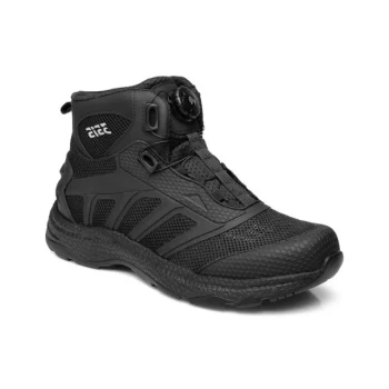
- Wholesale Durable Safety Boots Manufacturer Customizable Steel Toe Work Boots
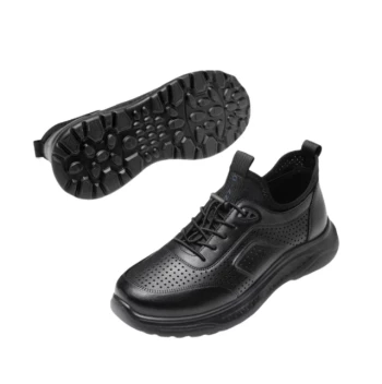
- Durable Leather Moc Toe Work Boots for Wholesale & Custom Manufacturing
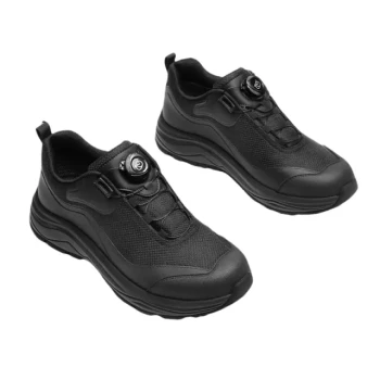
- Wholesale Modern Business Shoes with Dial Closure System for Bulk Orders
- Wholesale Smart Casual Sneakers with Dial Closure | Factory Direct Manufacturing
- Wholesale Modern Comfort Shoes with Dial Closure for Private Label & Bulk Orders
People Also Ask
- What are some common myths about steel toe work boots? Debunked for Modern Workers
- What are the benefits of wearing steel toe work boots beyond foot protection? Enhanced Durability, Comfort & Cost Savings
- What is the history of steel toe work boots? From German Invention to Modern Safety Standard
- What are steel toe work boots and who should wear them? Essential PPE for Hazardous Jobs
- What are the pros and cons of steel toe work boots? A Guide to Maximum Protection vs. Comfort