A high-precision three-axis magnetometer acts as the stabilizing directional anchor for navigation systems when satellite signals (GNSS) are inaccessible. By sensing the Earth's magnetic field to provide an absolute heading reference, its primary contribution is to continuously detect and correct the inevitable angular drift of gyroscopes. This ensures that personnel or autonomous units maintain an accurate sense of orientation during long-duration operations in complex environments like dense forests or indoor facilities.
Core Takeaway Inertial sensors (gyroscopes) measure relative change and naturally drift over time, leading to significant navigation errors. The magnetometer mitigates this by introducing an absolute external reference—Magnetic North—to "reset" the heading, ensuring the generated trajectory remains true to reality.
The Mechanics of Drift Correction
The Limitation of Gyroscopes
In GNSS-denied environments, systems rely heavily on Inertial Measurement Units (IMUs). While the gyroscope component is excellent at detecting rapid changes in orientation, it suffers from a critical flaw known as accumulation error.
Over time, even a microscopic error in a gyroscope's measurement compounds. Without an external correction, a system might report that a user is walking in a straight line, while they are actually slowly curving off course.
The Magnetometer as the "Truth" Source
The three-axis magnetometer solves this problem by sensing the Earth's magnetic field vectors. Unlike the gyroscope, which calculates position based on previous movements, the magnetometer provides an absolute heading reference.
It functions effectively as a sophisticated, digital compass. It does not rely on past data, meaning it does not inherit the accumulated errors of the previous minutes or hours.
Fusing the Data
The navigation algorithm fuses data from both sensors. It uses the gyroscope for smooth, high-speed updates during rapid motion and uses the magnetometer to verify and correct the gyroscope's heading bias.
This fusion effectively "clamps" the angular drift. It allows the system to maintain accurate orientation awareness over long durations, which is impossible with inertial sensors alone.
Impact on Cooperative Positioning
Ensuring Group Cohesion
In cooperative positioning, multiple units (personnel or robots) share their relative locations to build a collective map. If individual units suffer from heading drift, the entire group's relative geometry becomes distorted.
By anchoring each individual unit to the same absolute magnetic reference, the magnetometer ensures that everyone's "North" is aligned. This is fundamental for accurately overlaying the positions of multiple team members on a single coordinate system.
Operational Consistency
The primary reference highlights the importance of this sensor for personnel orientation. In high-stress or low-visibility environments (like smoke-filled buildings or dense canopy), human spatial awareness degrades.
The magnetometer ensures that the digital navigation feed remains consistent with the physical environment, preventing the disorientation that occurs when a navigation system slowly rotates the map due to uncorrected drift.
Understanding the Trade-offs
Susceptibility to Magnetic Disturbances
While the magnetometer corrects gyro drift, it has its own weakness: magnetic interference.
In indoor environments, large metal structures (girders, reinforced concrete) or electrical equipment can warp the local magnetic field. This creates "hard iron" and "soft iron" distortions that can mislead the sensor.
The Necessity of Calibration
To achieve "high precision," the system must be calibrated to distinguish between the Earth's magnetic field and the magnetic signature of the device itself (e.g., batteries or speakers near the sensor).
Advanced algorithms must also be employed to detect sudden, unnatural spikes in magnetic field intensity—indicating local interference—and temporarily ignore the magnetometer data in favor of the gyroscope until the interference passes.
Making the Right Choice for Your Goal
When integrating a three-axis magnetometer into your navigation solution, consider the specific environmental challenges:
- If your primary focus is Long-Duration Outdoor Operations (e.g., Forests): Prioritize the magnetometer's sensitivity and alignment accuracy, as the magnetic field will be stable and is your single source of truth for heading.
- If your primary focus is Indoor/Industrial Environments: Prioritize the filtering algorithms used to reject magnetic anomalies, ensuring the system does not confuse a metal door frame for a change in direction.
Summary: The magnetometer transforms a navigation system from a relative estimator that degrades over time into an absolute tracking tool capable of sustained accuracy.
Summary Table:
| Feature | Gyroscope (Inertial) | Magnetometer (Magnetic) | Combined (Sensor Fusion) |
|---|---|---|---|
| Reference Type | Relative (Change over time) | Absolute (Magnetic North) | Stabilized Absolute Orientation |
| Error Profile | Accumulates drift over time | Susceptible to local interference | Self-correcting & drift-free |
| Primary Role | Fast motion & rapid rotation | Long-term heading stability | Consistent group spatial awareness |
| Environment | Works anywhere | Best in low-interference areas | Reliable in complex/indoor zones |
Precision Navigation Starts with 3515
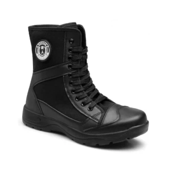
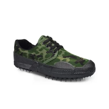
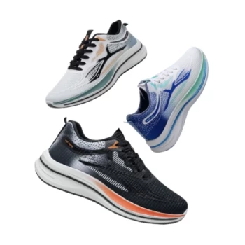
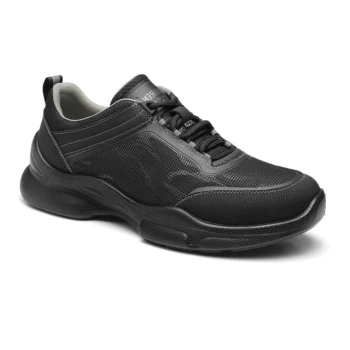
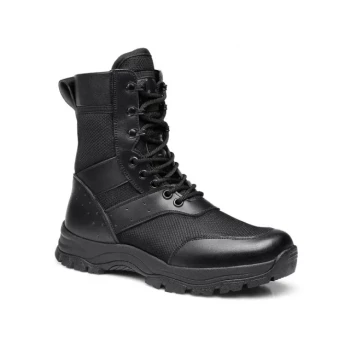
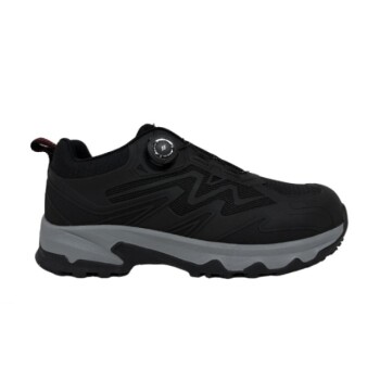
Maintaining operational consistency in GNSS-denied environments requires more than just high-tech sensors—it requires ruggedized equipment that can handle the field. As a large-scale manufacturer serving distributors and brand owners worldwide, 3515 offers comprehensive production capabilities for all footwear types.
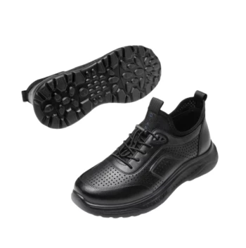
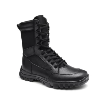
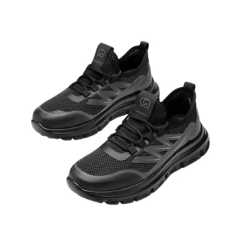
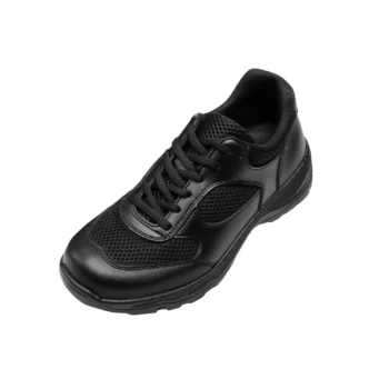
Our flagship Safety Shoes series, along with our extensive portfolio of tactical boots, outdoor shoes, and training sneakers, provides the stable platform your personnel need for accurate sensor integration and physical performance. Whether you are equipping a tactical team or a large-scale industrial workforce, we deliver the bulk requirements you need with uncompromised quality.
Ready to elevate your product line? Contact us today to discuss custom manufacturing solutions for your brand!
References
- Yang Chong, Qingyuan Zhang. Adaptive Decentralized Cooperative Localization for Firefighters Based on UWB and Autonomous Navigation. DOI: 10.3390/app13085177
This article is also based on technical information from 3515 Knowledge Base .
Related Products
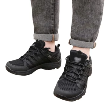
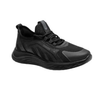
- Lightweight Breathable Sneakers with Wet-Traction Grip for Wholesale & Private Label
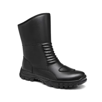
- Wholesale Durable Safety Boots Manufacturer Customizable Steel Toe Work Boots
- Durable Leather Moc Toe Work Boots for Wholesale & Custom Manufacturing
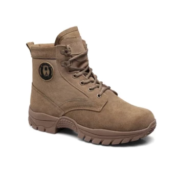
- Durable High-Ankle Tactical Boots Wholesale Manufacturer for Custom & Bulk Orders
- Wholesale Lightweight Cushioned Athletic Sneakers for Custom Bulk Production
People Also Ask
- Why are lightweight breathable safety sneakers recommended for management personnel in precast production workshops?
- Why are lightweight training shoes often preferred over professional hiking boots in urban walking? Maximize City Comfort
- How do lightweight shoes improve breathability? Discover the Science of Cool, Dry Feet
- How do lightweight shoes provide support? The Science of Efficient Cushioning & Stability
- What role do lightweight training shoes play in urban traffic? Boost Agility and Reaction for Safer City Navigation